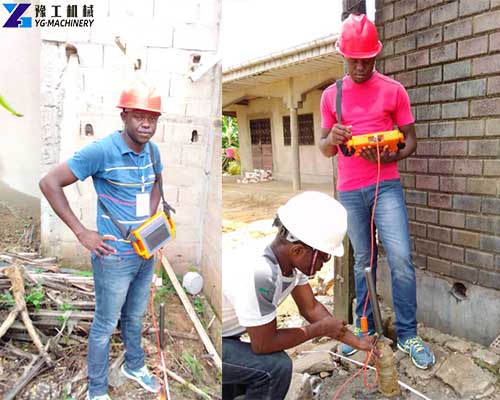
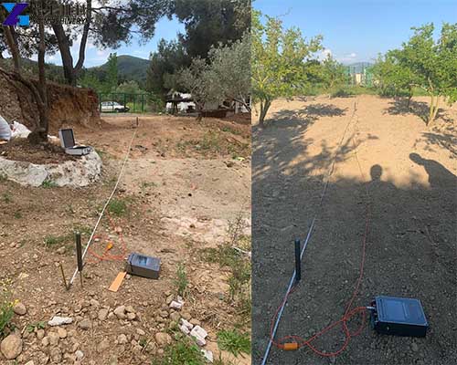
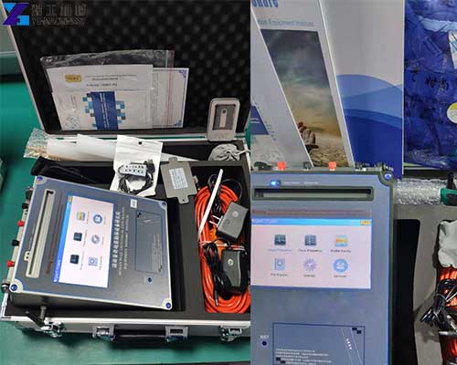
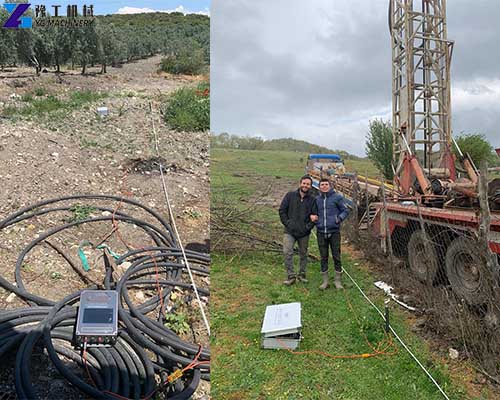
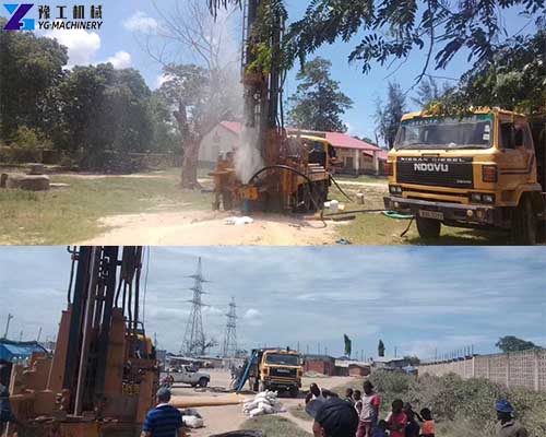
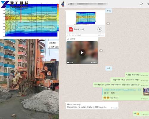
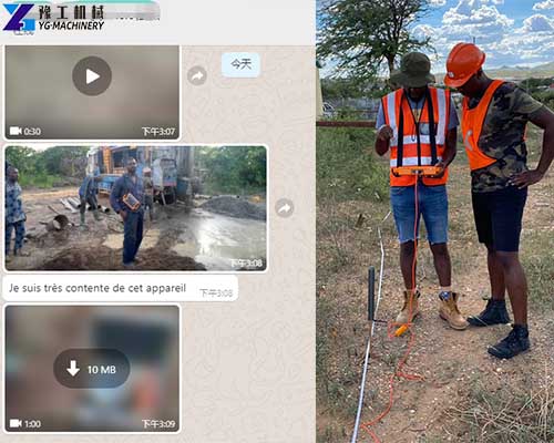
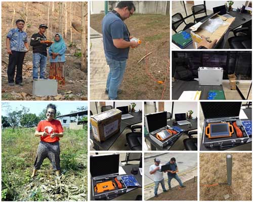
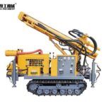
The underground water detector machine is an instrument for finding information on the location, depth, water level, and water output of groundwater. The equipment can be widely used in groundwater source exploration, geological structures, cavity detection, dam piping, etc. Water leak detectors can also be used with water well drilling rigs to survey the location of groundwater water and then use the drilling rig to drill wells. The underground water detector machine is easy to use, accurate in the survey, deep in detection, and widely used. It is the best equipment for finding groundwater.
Water Detection principle
The underground water detector machine mainly uses the natural electric field frequency selection method. The instrument automatically draws the geological structure profile and analyzes the underground water-bearing structure by collecting the change of the underground potential difference.
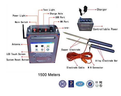
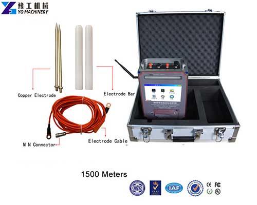
The common method of electrical survey and water measurement is to first drill a hole and send three motors downhole with a cable. One motor is buried in the well and 3 motors are in the well. The top-to-bottom geological changes of the well can be calculated through the arrangement and combination of the distances between these motors. This electrical logging method needs to move several meters to measure a level. Therefore, it requires multiple moves to measure bottom-up geological changes. Smart water leak detectors, on the other hand, do not require drilling and cables. It uses electromagnetic waves, which automatically drill into the ground, and each time a frequency is changed, the address data of a depth is measured. A profile can be obtained by changing electromagnetic waves several times, and specific geological data can be reflected from this profile.
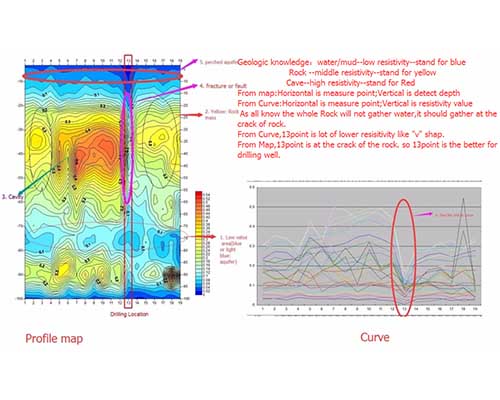
Underground Water Detector Machine Application
Water detector machine is widely used in many applications such as water prospecting, ore prospecting, and solving engineering geology and disaster qualification problems.
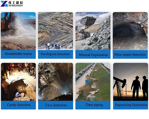

Find water: The intelligent water detector can determine the good position, the amount of dissolved water in a single well, the number of layers of the aquifer, and the depth of each layer. It is widely used in cities, mountains, plains, and other areas to quickly find water.
Prospecting: used to quickly find a variety of different types of mineral deposits. It can determine the location, strike, length, width, layers of the ore body, and the burial depth of each layer, and estimate the grade of the ore body.
Solve engineering geological and disaster geological problems: find caves of different origins, apply to archaeological work, determine the location and depth of coal mine goaves, determine the location of coal mine water inrush points, and predict tunnel or coal mining water inrush or collapse in advance.
Parameters of Underground Water Leak Detector
| Model | YG-150 | YG-300 | YG-500 | YG-1000 | YG-1500 | YG-20000 |
| Optional depth | 150m | 150m 300m | 150m 300m 500m | 500m 800m 1000m | 500m 1000m 1500m | 500m 1000m 1500m 2000m 3200m |
| Maximum number of channels | 18 channels | 18 channels | 18 channels | 18 channels | 18 channels | 18 channels |
| Minimum resolution | 0.001mv | 0.001mv | 0.001mv | 0.001mv | 0.001mv | 0.001mv |
| Point selection | 1~18 points optional | 1~18 points optional | 1~18 points optional | 1~18 points optional | 1~18 points optional | 1~18 points optional |
| controller | 32-bit high-speed CPU | 32-bit high-speed CPU | 32-bit high-speed CPU | 32-bit high-speed CPU | 32-bit high-speed CPU | 32-bit high-speed CPU |
| Working temperature | -20℃~50℃ | -20℃~50℃ | -20℃~50℃ | -20℃~50℃ | -20℃~50℃ | -20℃~50℃ |
| Power | 9w | 9w | 9w | 9w | 9w | 9w |
| Display screen | touch screen | touch screen | touch screen | touch screen | touch screen | touch screen |
| Standby time | 8h | 8h | 8h | 8h | 8h | 8h |
| motor rod | 22 sticks per standard | 22 sticks per standard | 22 sticks per standard | 22 sticks per standard | 22 sticks per standard | 22 sticks per standard |
Smart Water Detector Machine Advantage
- The operation is simple, you can learn to operate in 15 minutes without experience
- It is suitable for the exploration of various terrains, and the detection depth can be as high as thousands of meters
- The probed profile can reflect the aquifer and depth
- The instrument is automatically drawn, and the results can be obtained on the spot
- No artificial source is required, and it is less affected by landforms.
- The complex algorithm is automatically completed, and all data processing work can be completed in 5 seconds;
- Use the natural electromagnetic field as the field source. The efficiency is greatly improved, and the depth of measurement is also increased by 3 to 5 times.
Export Machine Case Display
